2020
TL1989 : Saturated farmland near Holme Fen, Cambridgeshire
taken 3 years ago, near to Holme, Cambridgeshire, England
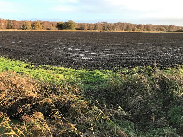
Saturated farmland near Holme Fen, Cambridgeshire
Much of the land in this part of Cambridgeshire is below sea level. Without the complex network of dikes, drains and pumping stations it would be underwater for much of the year.
 Map © Crown Copyright")
TIP: Click the map for more Large scale mapping
- Grid Square
- TL1989, 29 images (more nearby 🔍)
- Photographer
- Richard Humphrey (more nearby)
- Date Taken
- Sunday, 15 November, 2020 (more nearby)
- Submitted
- Monday, 16 November, 2020
- Subject Location
-
OSGB36:
 TL 1963 8902 [10m precision]
WGS84: 52:29.1595N 0:14.3805W - Camera Location
-
OSGB36: TL 19391 89103
- View Direction
- East-southeast (about 112 degrees)