2008
TR0559 : Footpath to Boughton Street, known as the coffin track
taken 16 years ago, near to Boughton Street, Kent, England
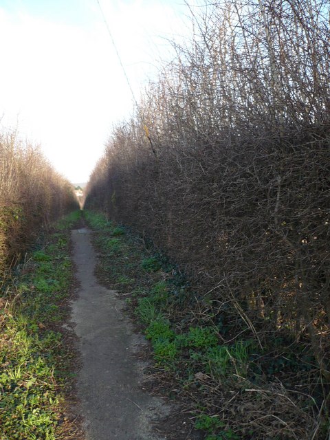
Footpath to Boughton Street, known as the coffin track
I am told that this footpath is the ancient track used by villagers to transport coffins from the main village to the church in Brenley Lane, over half a mile away. It now runs through Boughton Golf Course.
 Map © Crown Copyright")
TIP: Click the map for more Large scale mapping
- Grid Square
- TR0559, 98 images (more nearby 🔍)
- Photographer
- pam fray (more nearby)
- Date Taken
- Sunday, 27 January, 2008 (more nearby)
- Submitted
- Sunday, 27 January, 2008
- Subject Location
-
OSGB36:
 TR 051 591 [100m precision]
WGS84: 51:17.6660N 0:56.4317E - Camera Location
-
OSGB36: TR 050 591
- View Direction
- East-northeast (about 67 degrees)