2008
SK6132 : Farmland by the old station
taken 16 years ago, near to Normanton-on-The-Wolds, Nottinghamshire, England
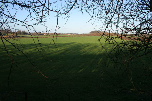
Farmland by the old station
Looking from the old station yard across flat farmland (45 metres above sea level) to the A606 and Normanton-on-the-Wolds. SK6233 : Hoe Hill near Normanton-on-the-Woldsl is on the horizon, rising to 85 metres above sea level.
 Map © Crown Copyright")
TIP: Click the map for more Large scale mapping
- Grid Square
- SK6132, 65 images (more nearby 🔍)
- Photographer
- Kate Jewell (more nearby)
- Date Taken
- Thursday, 24 January, 2008 (more nearby)
- Submitted
- Sunday, 27 January, 2008
- Subject Location
-
OSGB36:
 SK 619 326 [100m precision]
WGS84: 52:53.2812N 1:4.8798W - Camera Location
-
OSGB36: SK 617 324
- View Direction
- Northeast (about 45 degrees)