2008
TQ2509 : Bridleway to Devil's Dyke
taken 16 years ago, near to Mile Oak, Brighton And Hove, England
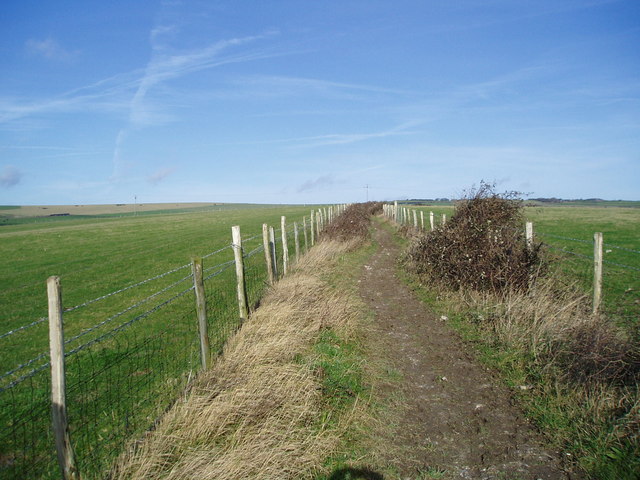
Bridleway to Devil's Dyke
A well used track for horses from the stables at New Barn.
 Map © Crown Copyright")
TIP: Click the map for more Large scale mapping
- Grid Square
- TQ2509, 11 images (more nearby 🔍)
- Photographer
- Peter Holmes (more nearby)
- Date Taken
- Saturday, 26 January, 2008 (more nearby)
- Submitted
- Monday, 28 January, 2008
- Subject Location
-
OSGB36:
 TQ 258 091 [100m precision]
WGS84: 50:52.0843N 0:12.7666W - Camera Location
-
OSGB36: TQ 258 090
- View Direction
- NORTH (about 0 degrees)