2005
SX8854 : Arable farmland, south of Galmpton
taken 19 years ago, near to Galmpton, Torbay, England
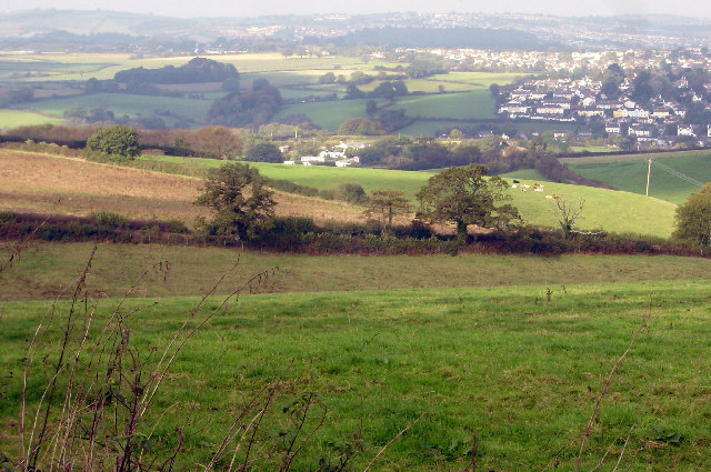
Arable farmland, south of Galmpton
View north from the farm track in the north east corner of this grid square, and fairly typical of this square. Galmpton caravan park in the centre middle distance, Galmpton itself on the right with the beginnings of the Torbay urban development on the right far distance.
 Map © Crown Copyright")
TIP: Click the map for more Large scale mapping
- Grid Square
- SX8854, 116 images (more nearby 🔍)
- Photographer
- Crispin Purdye (more nearby)
- Date Taken
- Monday, 17 October, 2005 (more nearby)
- Submitted
- Tuesday, 18 October, 2005
- Subject Location
-
OSGB36:
 SX 888 546 [100m precision]
WGS84: 50:22.8449N 3:33.9209W