2007
SD8429 : Crown Point Road
taken 17 years ago, near to Walk Mill, Lancashire, England
This is 1 of 4 images, with title Crown Point Road in this square
Crown Point Road
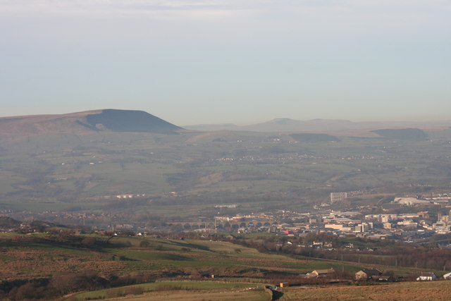
View from Everage Clough towards New Copy Farm ,Burnley centre and Pendle in the background
 Map © Crown Copyright")
TIP: Click the map for more Large scale mapping
- Grid Square
- SD8429, 33 images (more nearby 🔍)
- Photographer
- Kevin Rushton (more nearby)
- Date Taken
- Sunday, 4 February, 2007 (more nearby)
- Submitted
- Saturday, 2 February, 2008
- Subject Location
-
OSGB36:
 SD 8450 2989 [10m precision]
WGS84: 53:45.9075N 2:14.1968W - Camera Location
-
OSGB36: SD 8482 2923
- View Direction
- North-northwest (about 337 degrees)