2008
SP2772 : Kenilworth Castle mere flooded
taken 16 years ago, near to Kenilworth, Warwickshire, England
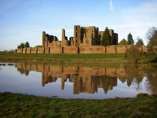
Kenilworth Castle mere flooded
A watery mere surrounding the castle making it an island stronghold so it could withstand a siege in 1266 against Henry III's siege engines.
 Map © Crown Copyright")
TIP: Click the map for more Large scale mapping
- Grid Square
- SP2772, 366 images (more nearby 🔍)
- Photographer
- derek billings (more nearby)
- Date Taken
- Wednesday, 16 January, 2008 (more nearby)
- Submitted
- Sunday, 3 February, 2008
- Subject Location
-
OSGB36:
 SP 278 722 [100m precision]
WGS84: 52:20.8303N 1:35.5992W - Camera Location
-
OSGB36: SP 277 720
- View Direction
- North-northeast (about 22 degrees)