2008
NG5136 : Ollach River
taken 16 years ago, near to Upper Ollach, Isle of Skye, Scotland
This is 1 of 3 images, with title Ollach River in this square
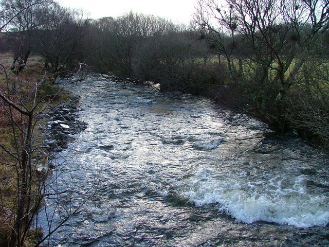
Ollach River
Running high after a significant fall of rain.
 Map © Crown Copyright")
TIP: Click the map for more Large scale mapping
- Grid Square
- NG5136, 48 images (more nearby 🔍)
- Photographer
- Dave Fergusson (more nearby)
- Date Taken
- Monday, 4 February, 2008 (more nearby)
- Submitted
- Monday, 4 February, 2008
- Subject Location
-
OSGB36:
 NG 516 366 [100m precision]
WGS84: 57:21.1548N 6:7.8702W - Camera Location
-
OSGB36: NG 515 366
- View Direction
- Northeast (about 45 degrees)