2008
SU5874 : A bridleway, Bradfield
taken 16 years ago, near to Upper Basildon, West Berkshire, England
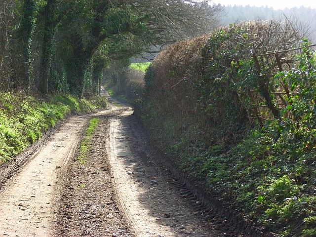
A bridleway, Bradfield
A farm track and access for a house in Lambden's Bottom.
 Map © Crown Copyright")
TIP: Click the map for more Large scale mapping
- Grid Square
- SU5874, 24 images (more nearby 🔍)
- Photographer
- Andrew Smith (more nearby)
- Date Taken
- Sunday, 27 January, 2008 (more nearby)
- Submitted
- Monday, 4 February, 2008
- Subject Location
-
OSGB36:
 SU 582 743 [100m precision]
WGS84: 51:27.8812N 1:9.8156W - Camera Location
-
OSGB36: SU 582 743
- View Direction
- SOUTH (about 180 degrees)