2008
SX7377 : Road across Holwell Down
taken 16 years ago, near to Widecombe in The Moor, Devon, England
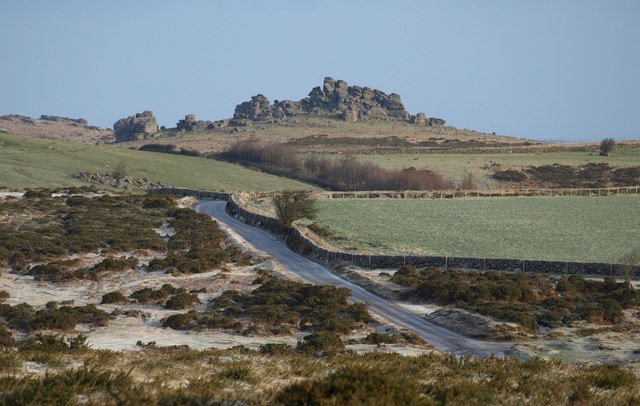
Road across Holwell Down
 Map © Crown Copyright")
TIP: Click the map for more Large scale mapping
- Grid Square
- SX7377, 88 images (more nearby 🔍)
- Photographer
- Derek Harper (more nearby)
- Date Taken
- Saturday, 2 February, 2008 (more nearby)
- Submitted
- Wednesday, 6 February, 2008
- Subject Location
-
OSGB36:
 SX 736 774 [100m precision]
WGS84: 50:34.9570N 3:47.2046W - Camera Location
-
OSGB36: SX 7346 7676
- View Direction
- North-northeast (about 22 degrees)