2016
SD2780 : Road near Higher Lath Farm
taken 8 years ago, near to Mansriggs, Cumbria, England
This is 1 of 2 images, with title Road near Higher Lath Farm in this square
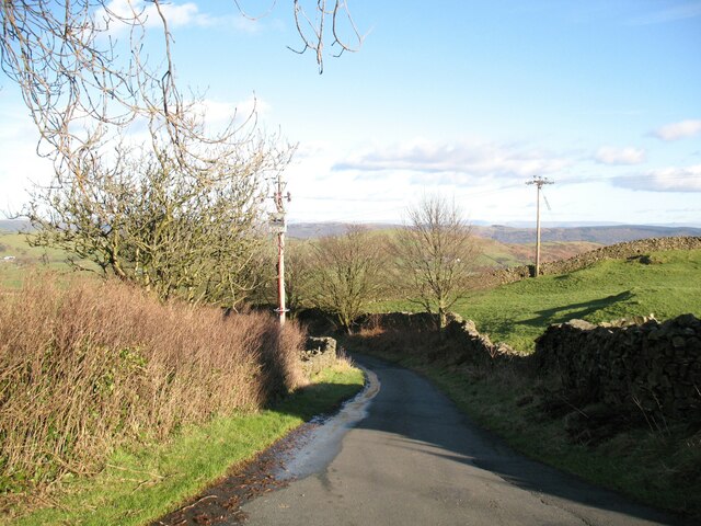
Road near Higher Lath Farm
This minor road leads from Beck Side up to Knottallow. The Cumbria Way long distance trail from Ulverston to Carlisle follows the road down the hill here (next photograph SD2780 : The Cumbria Way near Higher Lath Farm).
The Cumbria Way
A 119km (74 mile) long distance path from Ulverston to Carlisle, through the heart of the English Lake District.
 Map © Crown Copyright")
TIP: Click the map for more Large scale mapping
- Grid Square
- SD2780, 40 images (more nearby 🔍)
- Photographer
- Adrian Taylor (more nearby)
- Date Taken
- Wednesday, 10 February, 2016 (more nearby)
- Submitted
- Saturday, 24 April, 2021
- Subject Location
-
OSGB36:
 SD 27620 80278 [1m precision]
WGS84: 54:12.7861N 3:6.6820W - Camera Location
-
OSGB36: SD 27566 80265
- View Direction
- East-northeast (about 67 degrees)