2007
SH5634 : The end of the sea wall
taken 17 years ago, 3 km from Ynys, Gwynedd, Wales
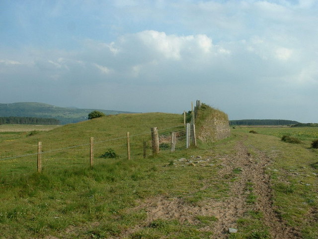
The end of the sea wall
There are now fields on both sides of the wall, as the area is protected by Morfa Harlech dunes a few hundred metres to the right. Maybe global warming will bring this wall back into use?
 Map © Crown Copyright")
TIP: Click the map for more Large scale mapping
- Grid Square
- SH5634, 6 images (more nearby 🔍)
- Photographer
- David Medcalf (more nearby)
- Date Taken
- Tuesday, 5 June, 2007 (more nearby)
- Submitted
- Friday, 8 February, 2008
- Subject Location
-
OSGB36:
 SH 568 344 [100m precision]
WGS84: 52:53.2978N 4:7.7716W - Camera Location
-
OSGB36: SH 568 345
- View Direction
- South-southwest (about 202 degrees)