2008
TF3666 : St Michael, Mavis Enderby
taken 16 years ago, near to Mavis Enderby, Lincolnshire, England
This is 1 of 13 images, with title St Michael, Mavis Enderby in this square
St Michael, Mavis Enderby
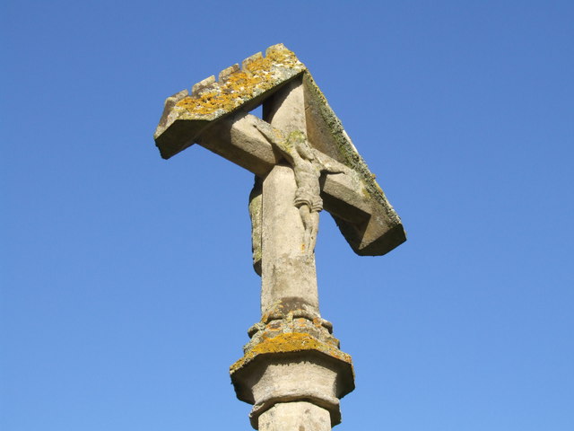
The churchyard cross.
 Map © Crown Copyright")
TIP: Click the map for more Large scale mapping
- Grid Square
- TF3666, 59 images (more nearby 🔍)
- Photographer
- Dave Hitchborne (more nearby)
- Date Taken
- Wednesday, 6 February, 2008 (more nearby)
- Submitted
- Saturday, 9 February, 2008
- Subject Location
-
OSGB36:
 TF 363 665 [100m precision]
WGS84: 53:10.7097N 0:2.3433E - Camera Location
-
OSGB36: TF 363 665
- View Direction
- East-northeast (about 67 degrees)