2008
SN6266 : Ffordd Wledig ger Bontnewydd / Country Lane near Bontnewydd
taken 16 years ago, near to Bontnewydd, Ceredigion/Sir Ceredigion, Wales
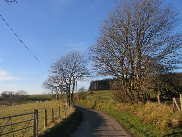
Ffordd Wledig ger Bontnewydd / Country Lane near Bontnewydd
Ffordd Wledig ger Bontnewydd gyda Fforest coniferaidd yn y cefndir/ Country Lane near Bontnewydd with a Coniferous forest in the background
 Map © Crown Copyright")
TIP: Click the map for more Large scale mapping
- Grid Square
- SN6266, 2 images (more nearby 🔍)
- Photographer
- Ian Medcalf (more nearby)
- Date Taken
- Saturday, 9 February, 2008 (more nearby)
- Submitted
- Sunday, 10 February, 2008
- Subject Location
-
OSGB36:
 SN 623 662 [100m precision]
WGS84: 52:16.6162N 4:1.1325W - Camera Location
-
OSGB36: SN 623 661
- View Direction
- North-northwest (about 337 degrees)