2008
TQ8366 : Canterbury Lane
taken 16 years ago, near to Upchurch, Kent, England
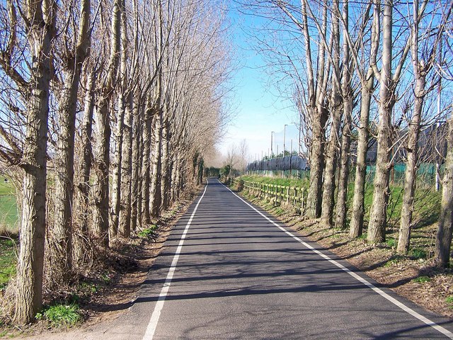
Canterbury Lane
Looking west. The tall fence on the right is at the back of the River Valley Golf Course driving range.
 Map © Crown Copyright")
TIP: Click the map for more Large scale mapping
- Grid Square
- TQ8366, 29 images (more nearby 🔍)
- Photographer
- Richard Dorrell (more nearby)
- Date Taken
- Sunday, 10 February, 2008 (more nearby)
- Submitted
- Sunday, 10 February, 2008
- Subject Location
-
OSGB36:
 TQ 835 663 [100m precision]
WGS84: 51:21.9661N 0:38.1123E - Camera Location
-
OSGB36: TQ 837 663
- View Direction
- WEST (about 270 degrees)