2008
SO7916 : Track to Corn Ham
taken 16 years ago, near to Elmore, Gloucestershire, England
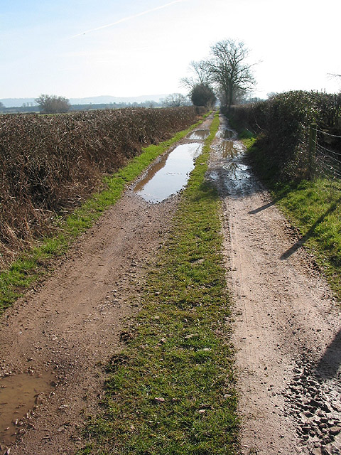
Track to Corn Ham
This eventually peters out into a footpath which meets the River Severn.
 Map © Crown Copyright")
TIP: Click the map for more Large scale mapping
- Grid Square
- SO7916, 29 images (more nearby 🔍)
- Photographer
- Pauline E (more nearby)
- Date Taken
- Saturday, 9 February, 2008 (more nearby)
- Submitted
- Sunday, 10 February, 2008
- Subject Location
-
OSGB36:
 SO 794 162 [100m precision]
WGS84: 51:50.6787N 2:18.0260W - Camera Location
-
OSGB36: SO 793 164
- View Direction
- South-southeast (about 157 degrees)