1987
SD7934 : The 'Britannia', Padiham. Lancashire
taken 37 years ago, near to Padiham, Lancashire, England
This is 1 of 2 images, with title starting with The 'Britannia', Padiham in this square
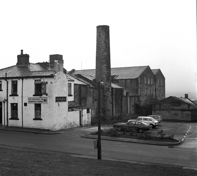
The 'Britannia', Padiham. Lancashire
The 'Britannia' is on Guy Street, which runs left to right across the picture. Victoria Mills seen behind.
 Map © Crown Copyright")
TIP: Click the map for more Large scale mapping
- Grid Square
- SD7934, 90 images (more nearby 🔍)
- Photographer
- Dr Neil Clifton (more nearby)
- Date Taken
- Tuesday, 27 October, 1987 (more nearby)
- Submitted
- Sunday, 10 February, 2008
- Subject Location
-
OSGB36:
 SD 795 341 [100m precision]
WGS84: 53:48.1674N 2:18.7646W - Camera Location
-
OSGB36: SD 794 341
- View Direction
- East-southeast (about 112 degrees)