2008
SU8695 : Hughenden Park
taken 16 years ago, near to Hughenden Valley, Buckinghamshire, England
This is 1 of 20 images, with title Hughenden Park in this square
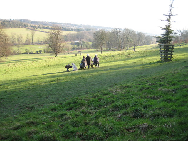
Hughenden Park
A family sit and take in the view of this National Trust managed park. Hughenden Stream runs in the bottom of the valley along the near line of trees, while the A4128 road follows the far line.
 Map © Crown Copyright")
TIP: Click the map for more Large scale mapping
- Grid Square
- SU8695, 353 images (more nearby 🔍)
- Photographer
- Nigel Cox (more nearby)
- Date Taken
- Sunday, 10 February, 2008 (more nearby)
- Submitted
- Monday, 11 February, 2008
- Subject Location
-
OSGB36:
 SU 864 952 [100m precision]
WGS84: 51:38.9380N 0:45.1565W - Camera Location
-
OSGB36: SU 862 954
- View Direction
- Southeast (about 135 degrees)