2005
SP5261 : Staverton - A425
taken 18 years ago, near to Staverton, West Northamptonshire, England
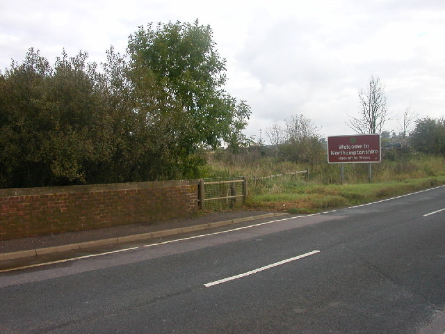
Staverton - A425
Bridge over River Leam which forms the boundary between Warwickshire and Northamptonshire.
 Map © Crown Copyright")
TIP: Click the map for more Large scale mapping
- Grid Square
- SP5261, 20 images (more nearby 🔍)
- Photographer
- Ian Rob (more nearby)
- Date Taken
- Saturday, 22 October, 2005 (more nearby)
- Submitted
- Saturday, 22 October, 2005
- Subject Location
-
OSGB36:
 SP 523 615 [100m precision]
WGS84: 52:14.9626N 1:14.0854W - Camera Location
-
OSGB36: SP 521 614
- View Direction
- East-northeast (about 67 degrees)