2008
SK4063 : Danesmoor - Guildford Lane Junction with Pilsley Road
taken 16 years ago, near to Clay Cross, Derbyshire, England
This is 1 of 4 images, with title starting with Danesmoor - Guildford in this square
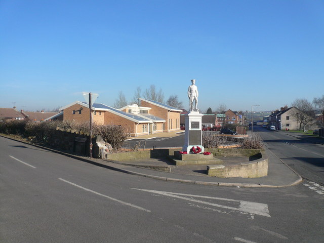
Danesmoor - Guildford Lane Junction with Pilsley Road
This view clearly shows the War Memorial, and the new St.Barnabas' Centre which was officially opened on the 9th of November 2007.
 Map © Crown Copyright")
TIP: Click the map for more Large scale mapping
- Grid Square
- SK4063, 101 images (more nearby 🔍)
- Photographer
- Alan Heardman (more nearby)
- Date Taken
- Monday, 11 February, 2008 (more nearby)
- Submitted
- Wednesday, 13 February, 2008
- Subject Location
-
OSGB36:
 SK 402 632 [100m precision]
WGS84: 53:9.8696N 1:23.9294W - Camera Location
-
OSGB36: SK 402 631
- View Direction
- East-northeast (about 67 degrees)