2008
SK4929 : River Soar below Ratcliffe
taken 16 years ago, near to Ratcliffe on Soar, Nottinghamshire, England
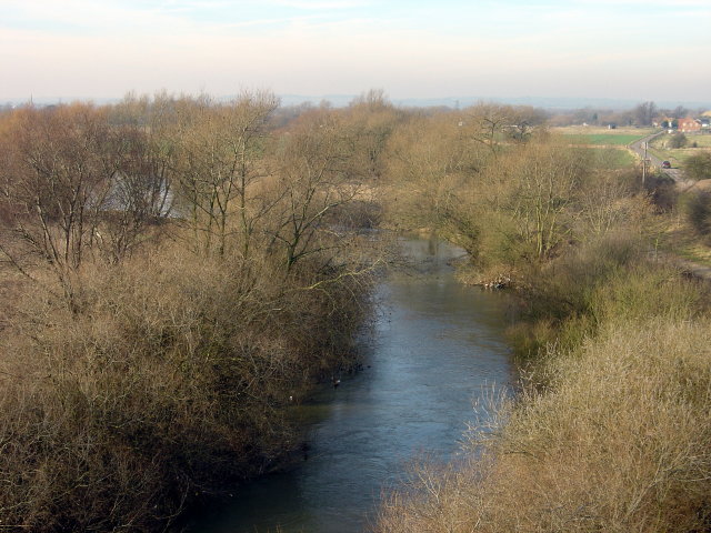
River Soar below Ratcliffe
This section of the river is not navigable as it is bypassed by the Ratcliffe Lock cut. Water levels are fairly normal for winter - high, but not at flood level.
 Map © Crown Copyright")
TIP: Click the map for more Large scale mapping
- Grid Square
- SK4929, 202 images (more nearby 🔍)
- Photographer
- Alan Murray-Rust (more nearby)
- Date Taken
- Sunday, 10 February, 2008 (more nearby)
- Submitted
- Wednesday, 13 February, 2008
- Subject Location
-
OSGB36:
 SK 495 293 [100m precision]
WGS84: 52:51.5407N 1:15.9757W - Camera Location
-
OSGB36: SK 496 292
- View Direction
- Northwest (about 315 degrees)