2021
TL5569 : Wicken Lode
taken 3 years ago, near to Upware, Cambridgeshire, England
This is 1 of 5 images, with title Wicken Lode in this square
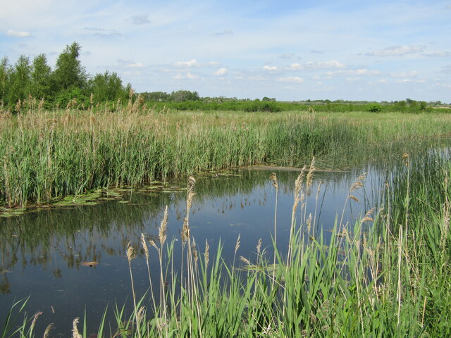
Wicken Lode
Wicken Lode is one of the Cambridgeshire lodes, an historic man-made fenland channel. It connects Reach Lode with Wicken Fen and Wicken village.
 Map © Crown Copyright")
TIP: Click the map for more Large scale mapping
- Grid Square
- TL5569, 62 images (more nearby 🔍)
- Photographer
- Colin Smith (more nearby)
- Date Taken
- Tuesday, 8 June, 2021 (more nearby)
- Submitted
- Thursday, 8 July, 2021
- Subject Location
-
OSGB36:
 TL 5511 6987 [10m precision]
WGS84: 52:18.3027N 0:16.4142E - Camera Location
-
OSGB36: TL 5509 6985
- View Direction
- Northeast (about 45 degrees)