2005
SJ4066 : Elevated ring road
taken 19 years ago, near to Chester, Cheshire West And Chester, England
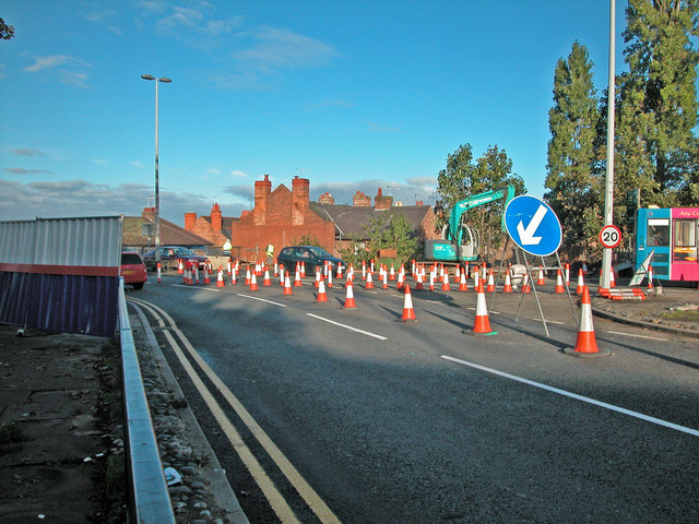
Elevated ring road
The start of road works to strengthen parts of the elevated section of the City's inner ring road. Although originally scheduled to take only a few months version three of the road works has only recently been completed.
 Map © Crown Copyright")
TIP: Click the map for more Large scale mapping
- Grid Square
- SJ4066, 4127 images (more nearby 🔍)
- Photographer
- Dennis Turner (more nearby)
- Date Taken
- Thursday, 13 October, 2005 (more nearby)
- Submitted
- Saturday, 16 February, 2008
- Subject Location
-
OSGB36:
 SJ 403 668 [100m precision]
WGS84: 53:11.6949N 2:53.7030W - Camera Location
-
OSGB36: SJ 403 668
- View Direction
- Northwest (about 315 degrees)