2008
TG3218 : Cycle route and footpath
taken 16 years ago, near to Horning, Norfolk, England
This is 1 of 2 images, with title Cycle route and footpath in this square
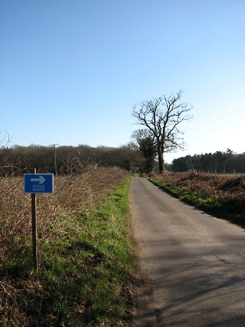
Cycle route and footpath
This sign marks a cycle route turning off Long Lane in southerly direction and leading to > TG3217 : Palmers Lane. See also > TG3218 : Cycle route and footpath
 Map © Crown Copyright")
TIP: Click the map for more Large scale mapping
- Grid Square
- TG3218, 30 images (more nearby 🔍)
- Photographer
- Evelyn Simak (more nearby)
- Date Taken
- Saturday, 16 February, 2008 (more nearby)
- Submitted
- Saturday, 16 February, 2008
- Subject Location
-
OSGB36:
 TG 328 186 [100m precision]
WGS84: 52:42.9321N 1:26.7901E - Camera Location
-
OSGB36: TG 328 187
- View Direction
- Southeast (about 135 degrees)