2008
SO8193 : Lane to Upper Aston, Shropshire
taken 16 years ago, near to Upper Aston, Shropshire, England
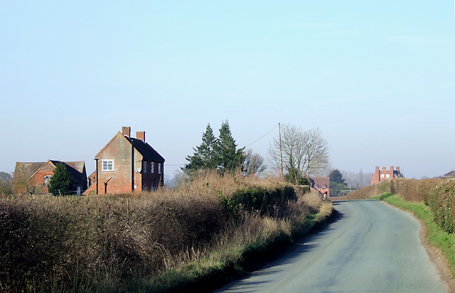
Lane to Upper Aston, Shropshire
The farm is called The Wellings (another is also labelled as such 300 metres south-east).
 Map © Crown Copyright")
TIP: Click the map for more Large scale mapping
- Grid Square
- SO8193, 14 images (more nearby 🔍)
- Photographer
- Roger D Kidd (more nearby)
- Date Taken
- Monday, 11 February, 2008 (more nearby)
- Submitted
- Saturday, 16 February, 2008
- Subject Location
-
OSGB36:
 SO 816 936 [100m precision]
WGS84: 52:32.4237N 2:16.3016W - Camera Location
-
OSGB36: SO 818 934
- View Direction
- Northwest (about 315 degrees)