2008
NT6051 : Rough grazing, Raecleugh
taken 16 years ago, 3 km from Blythe, Scottish Borders, Scotland
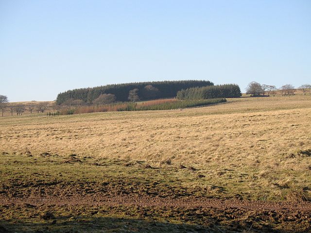
Rough grazing, Raecleugh
Upland grazing land on the gentle southern edge of the Lammermuir Hills.
 Map © Crown Copyright")
TIP: Click the map for more Large scale mapping
- Grid Square
- NT6051, 7 images (more nearby 🔍)
- Photographer
- Richard Webb (more nearby)
- Date Taken
- Saturday, 16 February, 2008 (more nearby)
- Submitted
- Saturday, 16 February, 2008
- Subject Location
-
OSGB36:
 NT 604 512 [100m precision]
WGS84: 55:45.1957N 2:37.8629W - Camera Location
-
OSGB36: NT 606 511
- View Direction
- West-northwest (about 292 degrees)