2008
TQ2607 : Field of sheep near A27(T)
taken 16 years ago, near to Mile Oak, Brighton And Hove, England
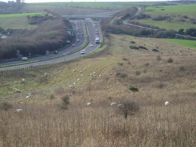
Field of sheep near A27(T)
The slip road for the A293, Hangleton Link Road can be seen in the distance.
 Map © Crown Copyright")
TIP: Click the map for more Large scale mapping
- Grid Square
- TQ2607, 65 images (more nearby 🔍)
- Photographer
- Peter Holmes (more nearby)
- Date Taken
- Saturday, 26 January, 2008 (more nearby)
- Submitted
- Sunday, 17 February, 2008
- Subject Location
-
OSGB36:
 TQ 264 077 [100m precision]
WGS84: 50:51.3007N 0:12.3362W - Camera Location
-
OSGB36: TQ 269 079
- View Direction
- West-southwest (about 247 degrees)