2008
SK1396 : A water course near Barrow Stones
taken 16 years ago, near to Grinah Stones [other Features], Derbyshire, Great Britain
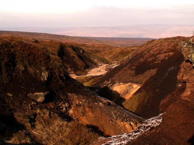
A water course near Barrow Stones
The skyline is Longside Edge, above the A628 Woodhead Road.
 Map © Crown Copyright")
TIP: Click the map for more Large scale mapping
- Grid Square
- SK1396, 44 images (more nearby 🔍)
- Photographer
- John Fielding (more nearby)
- Date Taken
- Saturday, 16 February, 2008 (more nearby)
- Submitted
- Sunday, 17 February, 2008
- Subject Location
-
OSGB36:
 SK 131 968 [100m precision]
WGS84: 53:28.0770N 1:48.2434W - Camera Location
-
OSGB36: SK 131 968
- View Direction
- North-northwest (about 337 degrees)