2008
SD8329 : Crown Point Road
taken 16 years ago, 3 km from Walk Mill, Lancashire, England
This is 1 of 4 images, with title Crown Point Road in this square
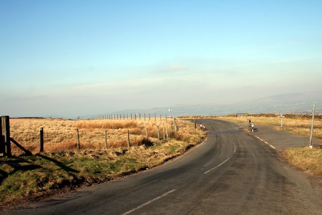
Crown Point Road
Cattle grid at the top of Woodplumpton Road
 Map © Crown Copyright")
TIP: Click the map for more Large scale mapping
- Grid Square
- SD8329, 42 images (more nearby 🔍)
- Photographer
- Kevin Rushton (more nearby)
- Date Taken
- Saturday, 16 February, 2008 (more nearby)
- Submitted
- Monday, 18 February, 2008
- Subject Location
-
OSGB36:
 SD 8396 2977 [10m precision]
WGS84: 53:45.8418N 2:14.6880W - Camera Location
-
OSGB36: SD 8398 2977
- View Direction
- WEST (about 270 degrees)