2008
TQ5737 : Montecute Field
taken 16 years ago, near to Royal Tunbridge Wells, Kent, England
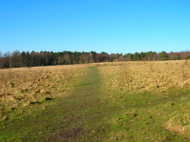
Montecute Field
An area of open land bounded by Hargate Forest.
 Map © Crown Copyright")
TIP: Click the map for more Large scale mapping
- Grid Square
- TQ5737, 243 images (more nearby 🔍)
- Photographer
- Simon Carey (more nearby)
- Date Taken
- Sunday, 17 February, 2008 (more nearby)
- Submitted
- Monday, 18 February, 2008
- Subject Location
-
OSGB36:
 TQ 574 373 [100m precision]
WGS84: 51:6.8452N 0:14.8828E - Camera Location
-
OSGB36: TQ 575 372
- View Direction
- North-northwest (about 337 degrees)