2002
TL0422 : Evelyn Road, Dunstable
taken 22 years ago, near to Dunstable, Central Bedfordshire, England
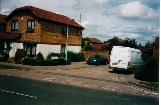
Evelyn Road, Dunstable
These houses are built on the site of the old Highfield County Primary School site. I don't know when the school was demolished and it is very hard to find anything out about the history of the school. If anyone has any info or pictures I'd be glad to hear from them.
 Map © Crown Copyright")
TIP: Click the map for more Large scale mapping
- Grid Square
- TL0422, 17 images (more nearby 🔍)
- Photographer
- Mike Goodwin (more nearby)
- Date Taken
- June 2002 (more nearby)
- Submitted
- Monday, 18 February, 2008
- Subject Location
-
OSGB36:
 TL 041 225 [100m precision]
WGS84: 51:53.4805N 0:29.3216W