2008
TQ5737 : Northern End of Montecute Field
taken 16 years ago, near to Royal Tunbridge Wells, Kent, England
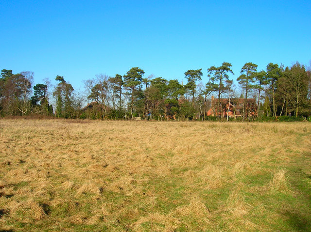
Northern End of Montecute Field
The field is the open section that the forest surrounds, The line of Scots Pines follows the Kent-East Sussex border with the houses behind being in the Tunbridge Wells suburb of Broadwater Down.
 Map © Crown Copyright")
TIP: Click the map for more Large scale mapping
- Grid Square
- TQ5737, 243 images (more nearby 🔍)
- Photographer
- Simon Carey (more nearby)
- Date Taken
- Sunday, 17 February, 2008 (more nearby)
- Submitted
- Tuesday, 19 February, 2008
- Subject Location
-
OSGB36:
 TQ 575 374 [100m precision]
WGS84: 51:6.8811N 0:14.9789E - Camera Location
-
OSGB36: TQ 575 373
- View Direction
- NORTH (about 0 degrees)