2006
NX0773 : High Mark
taken 17 years ago, near to March Burn [water Feature], South Ayrshire, Great Britain
This is 1 of 4 images, with title High Mark in this square
High Mark
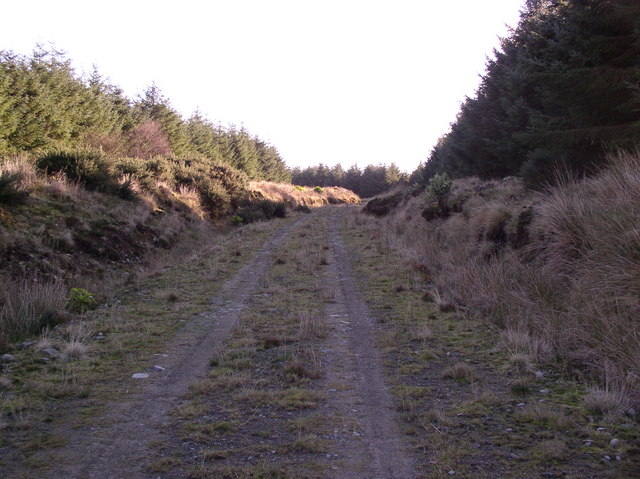
Start of forestry trail to High Mark
 Map © Crown Copyright")
TIP: Click the map for more Large scale mapping
- Grid Square
- NX0773, 44 images (more nearby 🔍)
- Photographer
- Billy McCrorie (more nearby)
- Date Taken
- Wednesday, 1 November, 2006 (more nearby)
- Submitted
- Tuesday, 19 February, 2008
- Subject Location
-
OSGB36:
 NX 077 739 [100m precision]
WGS84: 55:1.3417N 5:0.5667W - Camera Location
-
OSGB36: NX 075 740
- View Direction
- East-southeast (about 112 degrees)