2008
SU5354 : Downs South of Hannington
taken 16 years ago, near to North Oakley, Hampshire, England
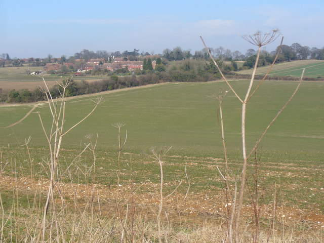
Downs South of Hannington
Looking north-east over a dry Downland hollow towards the hilltop village of Hannington. Most of the fields are grass-covered and have many flint stones lying on the surface.
 Map © Crown Copyright")
TIP: Click the map for more Large scale mapping
- Grid Square
- SU5354, 109 images (more nearby 🔍)
- Photographer
- Colin Smith (more nearby)
- Date Taken
- Tuesday, 19 February, 2008 (more nearby)
- Submitted
- Wednesday, 20 February, 2008
- Subject Location
-
OSGB36:
 SU 539 546 [100m precision]
WGS84: 51:17.3119N 1:13.6990W - Camera Location
-
OSGB36: SU 538 544
- View Direction
- North-northeast (about 22 degrees)