2008
SU2178 : Downland, Liddington
taken 16 years ago, near to Upper Upham, Wiltshire, England
This is 1 of 7 images, with title Downland, Liddington in this square
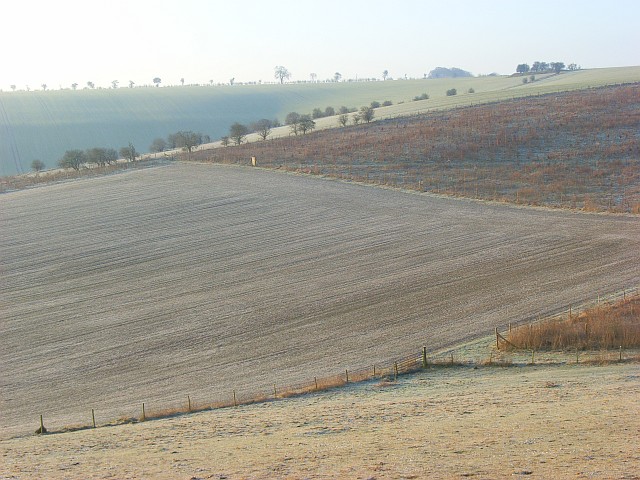
Downland, Liddington
From the top we see here a young cereal crop, newly planted woodland, a ploughed field and, in the foreground, grazing land. It all has a white tint on this frosty morning.
 Map © Crown Copyright")
TIP: Click the map for more Large scale mapping
- Grid Square
- SU2178, 38 images (more nearby 🔍)
- Photographer
- Andrew Smith (more nearby)
- Date Taken
- Saturday, 16 February, 2008 (more nearby)
- Submitted
- Friday, 22 February, 2008
- Subject Location
-
OSGB36:
 SU 217 783 [100m precision]
WGS84: 51:30.1933N 1:41.3254W - Camera Location
-
OSGB36: SU 218 786
- View Direction
- South-southwest (about 202 degrees)