2021
NZ1494 : Fundamental Benchmark
taken 2 years ago, near to Longhorsley, Northumberland, England
This is 1 of 2 images, with title Fundamental Benchmark in this square
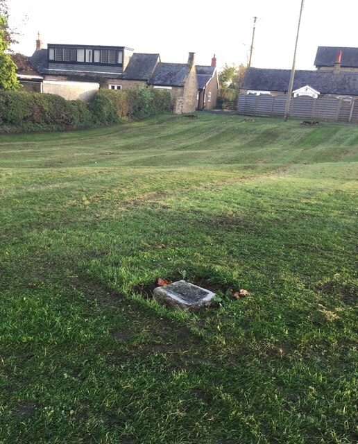
Fundamental Benchmark
These Ordnance Survey benchmarks, of which there are only 200 in the UK, are the cornerstones of the countrywide height measurement network, the mean sea level reference point being the Newlyn Datum in Cornwall. Unlike the more familiar trig points, they are still in use and are regularly checked. The concrete block is set on bedrock for stability. The height is specified as 124.0106 metres. Such precision! See closeup NZ1494 : Fundamental Benchmark For full details see Link
 Map © Crown Copyright")
TIP: Click the map for more Large scale mapping
- Grid Square
- NZ1494, 60 images (more nearby 🔍)
- Photographer
- Leanmeanmo (more nearby)
- Date Taken
- Friday, 29 October, 2021 (more nearby)
- Submitted
- Sunday, 31 October, 2021
- Subject Location
-
OSGB36:
 NZ 145 945 [100m precision]
WGS84: 55:14.6904N 1:46.3431W - Camera Location
-
OSGB36: NZ 145 945
- View Direction
- South-southeast (about 157 degrees)