2008
SK0175 : Forestry above Errwood Reservoir
taken 16 years ago, 4 km NW of Burbage, Derbyshire, England
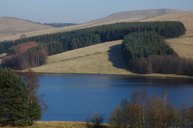
Forestry above Errwood Reservoir
Forestry viewed from across the Errwood Reservoir.
 Map © Crown Copyright")
TIP: Click the map for more Large scale mapping
- Grid Square
- SK0175, 58 images (more nearby 🔍)
- Photographer
- Philip Halling (more nearby)
- Date Taken
- Saturday, 16 February, 2008 (more nearby)
- Submitted
- Saturday, 23 February, 2008
- Subject Location
-
OSGB36:
 SK 016 751 [100m precision]
WGS84: 53:16.3730N 1:58.5671W - Camera Location
-
OSGB36: SK 011 746
- View Direction
- Northeast (about 45 degrees)