2008
SU1275 : Bridleway descending from Hackpen Hill
taken 16 years ago, near to Uffcott, Wiltshire, England
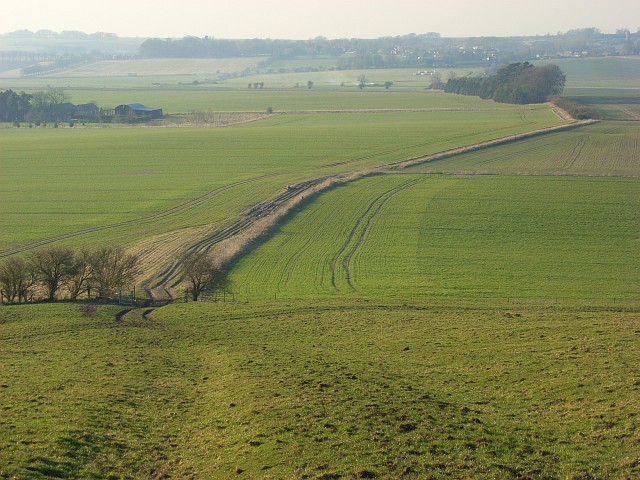
Bridleway descending from Hackpen Hill
The bridleway is part of the White Horse Trail, a route that links the equine chalk figures of Wiltshire. Here it is heading towards the one at Broad Town just to the west of the one on Hackpen Hill.
 Map © Crown Copyright")
TIP: Click the map for more Large scale mapping
- Grid Square
- SU1275, 9 images (more nearby 🔍)
- Photographer
- Andrew Smith (more nearby)
- Date Taken
- Saturday, 16 February, 2008 (more nearby)
- Submitted
- Sunday, 24 February, 2008
- Subject Location
-
OSGB36:
 SU 125 755 [100m precision]
WGS84: 51:28.6994N 1:49.2840W - Camera Location
-
OSGB36: SU 129 753
- View Direction
- West-northwest (about 292 degrees)