2008
SU4186 : Track, Lockinge
taken 16 years ago, near to Lockinge, Oxfordshire, England
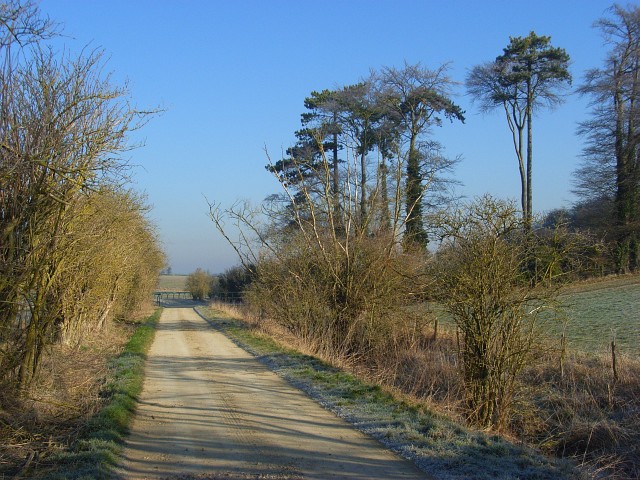
Track, Lockinge
The public bridleway passing the western extremity of Arnhill Plantation.
 Map © Crown Copyright")
TIP: Click the map for more Large scale mapping
- Grid Square
- SU4186, 18 images (more nearby 🔍)
- Photographer
- Andrew Smith (more nearby)
- Date Taken
- Sunday, 17 February, 2008 (more nearby)
- Submitted
- Monday, 25 February, 2008
- Subject Location
-
OSGB36:
 SU 419 868 [100m precision]
WGS84: 51:34.7107N 1:23.8041W - Camera Location
-
OSGB36: SU 419 868
- View Direction
- NORTH (about 0 degrees)