2008
SO2528 : Gwryne Fawr
taken 16 years ago, 3 km from Capel-y-Ffin, Powys, Wales
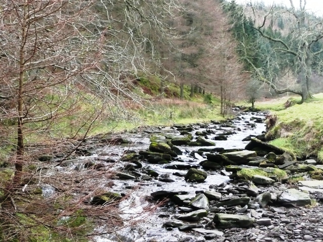
Gwryne Fawr
The river that forms the main drainage for this valley of the same name. This is about two miles below its reservoir near the car park at the head of the valley road.
 Map © Crown Copyright")
TIP: Click the map for more Large scale mapping
- Grid Square
- SO2528, 21 images (more nearby 🔍)
- Photographer
- Graham Horn (more nearby)
- Date Taken
- Sunday, 24 February, 2008 (more nearby)
- Submitted
- Tuesday, 26 February, 2008
- Subject Location
-
OSGB36:
 SO 250 286 [100m precision]
WGS84: 51:57.0549N 3:5.4915W - Camera Location
-
OSGB36: SO 251 285
- View Direction
- Northwest (about 315 degrees)