2008
SU0342 : Track, Maddington Down
taken 16 years ago, 3 km from Orcheston, Wiltshire, England
This is 1 of 2 images, with title Track, Maddington Down in this square
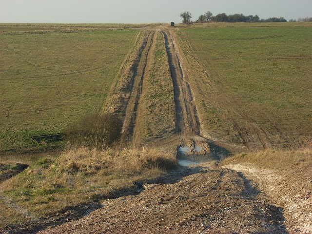
Track, Maddington Down
Crossing the dry valley north of High Trees.
 Map © Crown Copyright")
TIP: Click the map for more Large scale mapping
- Grid Square
- SU0342, 9 images (more nearby 🔍)
- Photographer
- Andrew Smith (more nearby)
- Date Taken
- Tuesday, 19 February, 2008 (more nearby)
- Submitted
- Tuesday, 26 February, 2008
- Subject Location
-
OSGB36:
 SU 035 427 [100m precision]
WGS84: 51:11.0112N 1:57.0783W - Camera Location
-
OSGB36: SU 037 425
- View Direction
- Northwest (about 315 degrees)