2008
ST9844 : Farmland above Chitterne
taken 16 years ago, near to Chitterne, Wiltshire, England
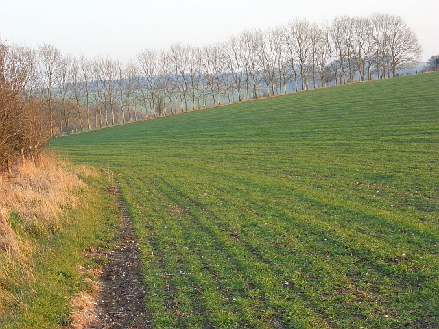
Farmland above Chitterne
A cereal crop on the southern side of the Imber Range Perimeter Path which is on a byway to the left of the hedge.
 Map © Crown Copyright")
TIP: Click the map for more Large scale mapping
- Grid Square
- ST9844, 13 images (more nearby 🔍)
- Photographer
- Andrew Smith (more nearby)
- Date Taken
- Tuesday, 19 February, 2008 (more nearby)
- Submitted
- Tuesday, 26 February, 2008
- Subject Location
-
OSGB36:
 ST 984 441 [100m precision]
WGS84: 51:11.7670N 2:1.4567W - Camera Location
-
OSGB36: ST 982 442
- View Direction
- East-southeast (about 112 degrees)