2008
TF9001 : View east along Ovington Road
taken 16 years ago, near to Saham Toney, Norfolk, England
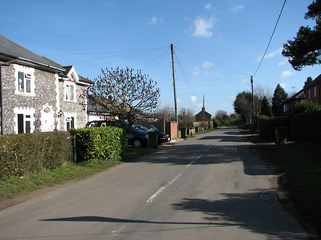
View east along Ovington Road
Viewed from the junction of Bell Lane, Ovington Road, Cley Lane and Chequers Lane. An unnamed 'self-murderer' was buried near here in around 1790. For some unexplained reason he had been seen pouring wine and beer into the river and was 'sent to Coventry' (meaning he was deliberately ostracised) by the locals. As a result he killed himself.
 Map © Crown Copyright")
TIP: Click the map for more Large scale mapping
- Grid Square
- TF9001, 43 images (more nearby 🔍)
- Photographer
- Evelyn Simak (more nearby)
- Date Taken
- Wednesday, 27 February, 2008 (more nearby)
- Submitted
- Wednesday, 27 February, 2008
- Subject Location
-
OSGB36:
 TF 909 019 [100m precision]
WGS84: 52:34.9154N 0:48.9814E - Camera Location
-
OSGB36: TF 907 019
- View Direction
- East-northeast (about 67 degrees)