2022
NT9421 : Track to Langleeford Hope
taken 2 years ago, near to Langleeford, Northumberland, England
This is 1 of 3 images, with title starting with Track to Langleeford in this square
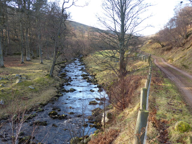
Track to Langleeford Hope
Beside the Harthope Burn.
 Map © Crown Copyright")
TIP: Click the map for more Large scale mapping
- Grid Square
- NT9421, 45 images (more nearby 🔍)
- Photographer
- Russel Wills (more nearby)
- Date Taken
- Friday, 14 January, 2022 (more nearby)
- Submitted
- Monday, 17 January, 2022
- Subject Location
-
OSGB36:
 NT 9465 2177 [10m precision]
WGS84: 55:29.3819N 2:5.1733W - Camera Location
-
OSGB36: NT 9468 2182
- View Direction
- Southwest (about 225 degrees)