2022
NS9458 : Area of former quarrying & mining
taken 2 years ago, 3 km from Greenburn, West Lothian, Scotland
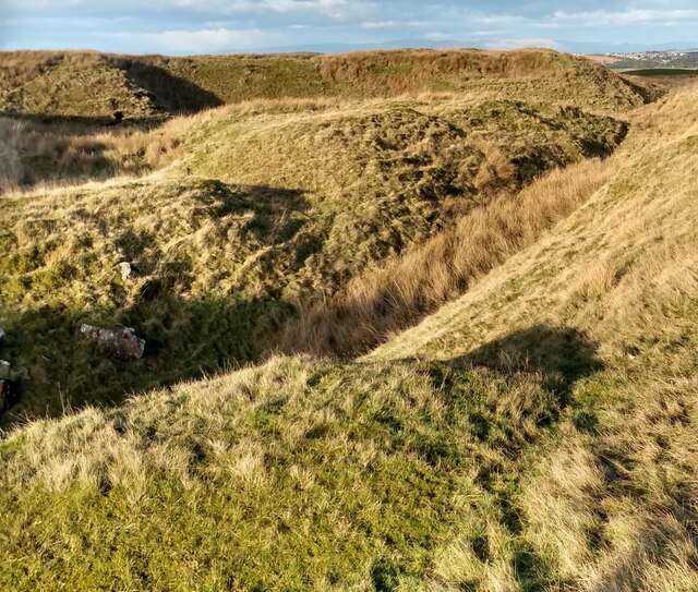
Area of former quarrying & mining
A nearby information board indicates limestone was extracted here
 Map © Crown Copyright")
TIP: Click the map for more Large scale mapping
- Grid Square
- NS9458, 8 images (more nearby 🔍)
- Photographer
- Jim Smillie (more nearby)
- Date Taken
- Wednesday, 19 January, 2022 (more nearby)
- Submitted
- Wednesday, 19 January, 2022
- Subject Location
-
OSGB36:
 NS 944 583 [100m precision]
WGS84: 55:48.3894N 3:41.1542W - Camera Location
-
OSGB36: NS 944 582
- View Direction
- North-northeast (about 22 degrees)