2008
SU6086 : River bed
taken 16 years ago, near to North Stoke, Oxfordshire, England
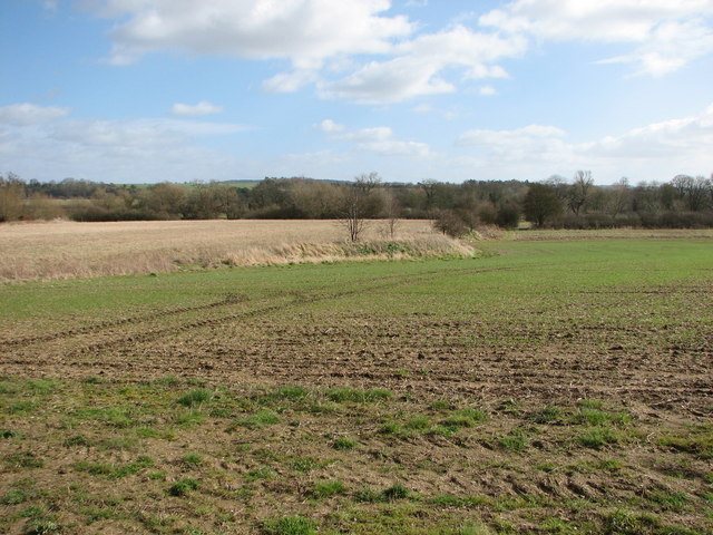
River bed
Better view of the spoil from the dredged River Thames showing where it stopped and how much higher the level is.
 Map © Crown Copyright")
TIP: Click the map for more Large scale mapping
- Grid Square
- SU6086, 274 images (more nearby 🔍)
- Photographer
- Bill Nicholls (more nearby)
- Date Taken
- Saturday, 1 March, 2008 (more nearby)
- Submitted
- Sunday, 2 March, 2008
- Subject Location
-
OSGB36:
 SU 604 867 [100m precision]
WGS84: 51:34.5558N 1:7.7191W - Camera Location
-
OSGB36: SU 604 867
- View Direction
- EAST (about 90 degrees)