2008
TF1896 : Old taxiway
taken 16 years ago, near to Thoresway, Lincolnshire, England
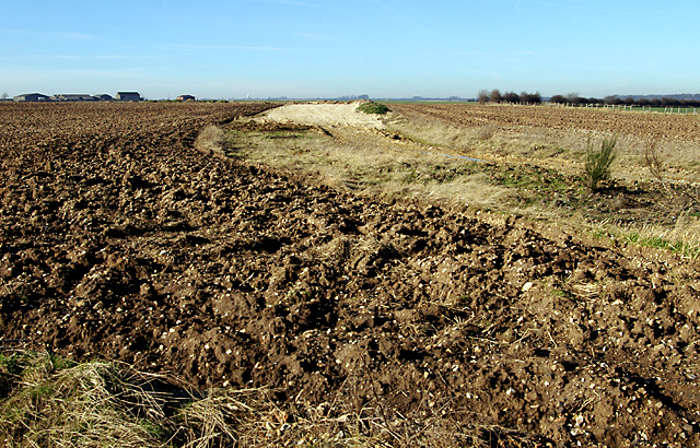
Old taxiway
A large proportion of the taxiways and runways of the airfield have been dug up and recycled, but often the scars are still there. In the distance is Rectory Farm.
 Map © Crown Copyright")
TIP: Click the map for more Large scale mapping
- Grid Square
- TF1896, 4 images (more nearby 🔍)
- Photographer
- Mr T (more nearby)
- Date Taken
- Sunday, 10 February, 2008 (more nearby)
- Submitted
- Sunday, 2 March, 2008
- Subject Location
-
OSGB36:
 TF 188 963 [100m precision]
WGS84: 53:27.0205N 0:12.7348W - Camera Location
-
OSGB36: TF 189 963
- View Direction
- West-southwest (about 247 degrees)