2008
SE1220 : Footpath 20, Elland
taken 16 years ago, near to Elland, Calderdale, England
This is 1 of 15 images, with title starting with Footpath in this square
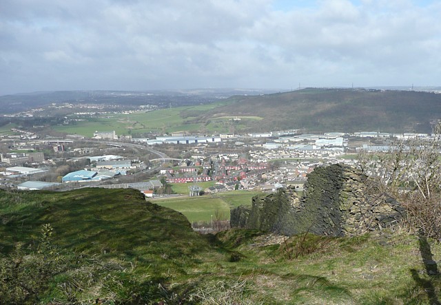
Footpath 20, Elland
Elland footpath 20 goes down the side of the derelict mink farm, then plunges down the hillside.
 Map © Crown Copyright")
TIP: Click the map for more Large scale mapping
- Grid Square
- SE1220, 196 images (more nearby 🔍)
- Photographer
- Humphrey Bolton (more nearby)
- Date Taken
- Sunday, 2 March, 2008 (more nearby)
- Submitted
- Sunday, 2 March, 2008
- Subject Location
-
OSGB36:
 SE 120 205 [100m precision]
WGS84: 53:40.8496N 1:49.1881W - Camera Location
-
OSGB36: SE 120 205
- View Direction
- Northwest (about 315 degrees)