2008
NG7019 : Track above Kinloch
taken 16 years ago, near to Kinloch, Isle of Skye, Scotland
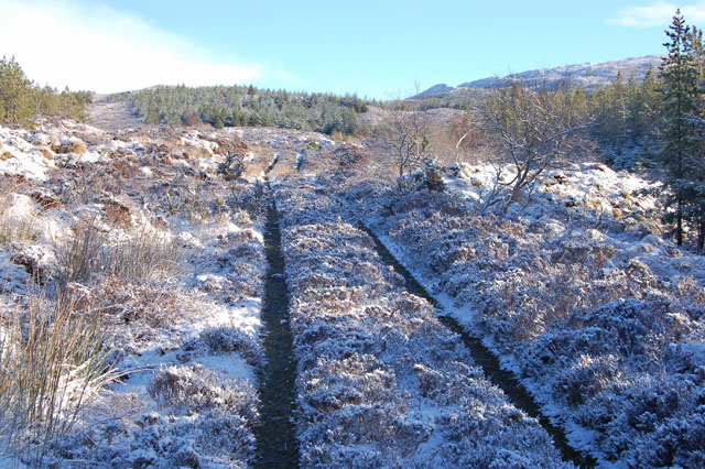
Track above Kinloch
Approaching the end of the forest track. This last section appears to be seldom used by vehicles.
 Map © Crown Copyright")
TIP: Click the map for more Large scale mapping
- Grid Square
- NG7019, 3 images (more nearby 🔍)
- Photographer
- John Allan (more nearby)
- Date Taken
- Monday, 3 March, 2008 (more nearby)
- Submitted
- Monday, 3 March, 2008
- Subject Location
-
OSGB36:
 NG 709 190 [100m precision]
WGS84: 57:12.2825N 5:47.6211W - Camera Location
-
OSGB36: NG 709 190
- View Direction
- East-northeast (about 67 degrees)