2008
SW7235 : View of Menerdue
taken 16 years ago, near to Rame, Cornwall, England
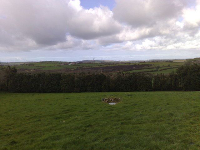
View of Menerdue
View across the shallow valley to Menerdue Farm and the view beyond.
 Map © Crown Copyright")
TIP: Click the map for more Large scale mapping
- Grid Square
- SW7235, 6 images (more nearby 🔍)
- Photographer
- Ian Harris (more nearby)
- Date Taken
- Wednesday, 5 March, 2008 (more nearby)
- Submitted
- Wednesday, 5 March, 2008
- Subject Location
-
OSGB36:
 SW 722 352 [100m precision]
WGS84: 50:10.3786N 5:11.4285W - Camera Location
-
OSGB36: SW 725 341
- View Direction
- North-northwest (about 337 degrees)